Asheville’s Aerial Advantage: How a Mountain Town Built a Model Drone Program
Tucked away in the lush Appalachian Mountains, Asheville, North Carolina, might be better known for its art deco architecture and craft beer scene, but behind the scenic vistas lies a sophisticated drone program that’s setting standards across the Southeast. From fire response to public safety and environmental monitoring, Asheville’s drone initiative is proving that innovation can thrive in small cities just as well as major metros.
Dakota Smith
5/28/20253 min read
The Origins: Necessity Meets Innovation
In 2019, a particularly devastating brush fire on the outskirts of Asheville exposed a gap in real-time aerial intelligence. Helicopter support was delayed, and firefighters had little visibility over the fast-moving flames in rugged terrain. That incident was the catalyst.
Shortly after, the Asheville Fire Department (AFD) and Asheville Police Department (APD) began exploring the integration of small unmanned aircraft systems (sUAS) into their operations. The city council approved funding for pilot programs, and by 2020, Asheville’s official UAS program took flight.
Program Structure: Built for Interagency Support
Asheville’s drone program is unique in that it is not siloed within a single department. Instead, it operates as a shared service model:
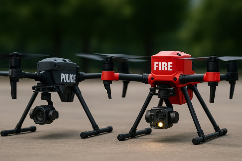
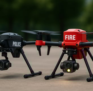
Asheville Fire Department: Focuses on thermal imaging for fireground operations, structural collapse, HAZMAT support, and search and rescue in steep or wooded terrain.
Asheville Police Department: Uses drones for accident reconstruction, overwatch during SWAT deployments, missing persons, and surveillance during major events.
Public Works and Emergency Management: Employs drones for infrastructure inspection, stormwater monitoring, and damage assessment post-flooding or hurricanes.
A joint UAS Command Team composed of FAA Part 107-certified personnel from each department handles mission planning, flight ops, and post-mission data review. They also maintain a dedicated flight log system, ensuring full traceability and accountability.
Hardware & Payloads: Built for the Mountains
Asheville’s drone fleet is tailored to meet the city’s diverse operational needs and geographic challenges. Common aircraft include:
DJI Matrice 30T: Thermal imaging, zoom, and low-light capabilities—ideal for fire and SAR ops.
Autel EVO II Dual 640T: Portable and rugged, often used by patrol officers and park rangers.
DJI Mini 4 Pro: Lightweight for quick deployment in urban or restricted airspace scenarios.
Specialized payloads include:
Radiological and chemical sensors (for HAZMAT)
High-resolution mapping software for 3D modeling
Night vision and strobe lights for nighttime missions
Drop kits for emergency supply delivery in hard-to-reach areas
All aircraft are equipped with ADS-B receivers to detect manned aircraft and avoid midair conflict in the region’s sometimes congested airspace.
Training & Certification: More Than Just Part 107
Every UAS pilot in Asheville’s program holds a Part 107 certification, but that’s just the beginning. Operators undergo monthly skills maintenance sessions, quarterly scenario-based drills (like live fire or missing person simulations), and annual recertification events.
They also collaborate with UNC Asheville’s Atmospheric Sciences Program to analyze environmental data collected via drone and contribute to regional climate research.
Real-World Missions: Results You Can Measure
1. Search and Rescue in Pisgah National Forest (2022)
After a teenage hiker went missing during a weekend storm, AFD drone pilots deployed thermal-equipped Matrice units to scan deep ravines and dense canopy that would have taken hours to search on foot. The teen was found hypothermic but alive after just 3 hours in the field.
2. Downtown Fire Response (2023)
A four-alarm structure fire near Pack Square required rooftop recon and thermal sweeps to check for hot spots. The drone’s aerial view helped prevent collapse and ensured fire crews targeted areas of concern. Notably, this mission was flown under an active FAA COA (Certificate of Authorization) due to the proximity to controlled airspace.
3. Flood Assessment and Mapping (2021–2024)
After torrential rains, drone teams helped map flooded zones, identify blocked culverts, and even locate a car swept off a washed-out road. The city later used the imagery to secure FEMA funding and plan for stormwater infrastructure upgrades.
Public Outreach and Policy Transparency
Asheville’s drone leadership knew early on that public trust would be vital. They held town halls, posted transparent policies online, and included a formal privacy policy outlining:
No random surveillance
No weaponization
Clear purpose and data retention rules
Use only in specific, documented scenarios
Public dashboards even list recent missions, anonymized flight data, and environmental metrics collected via drone, earning praise from residents and privacy advocates alike.
Asheville’s Place in the National Conversation
In 2024, Asheville’s program was featured at the National Public Safety UAS Conference and has served as a model for similar-sized cities across the country. FEMA and the North Carolina Department of Emergency Management have both cited Asheville’s drone use as best practice for emergency preparedness.
As drone tech continues to evolve, with AI-enhanced mapping, real-time analytics, and BVLOS (Beyond Visual Line of Sight) capabilities, Asheville is poised to remain at the forefront.
Conclusion: Innovation, Elevated
In a town where creativity is a way of life, Asheville’s drone program is yet another reflection of its forward-thinking spirit. What began as a practical solution to a fire has become a comprehensive, community-integrated technology hub. With eyes on the sky and boots on the ground, Asheville is proving that the future of public safety is here, and it's flying.

Peak Perspective LLC
Your partner in photography and content creation.
Contact us
info@peakperspectivellc.pro
(470) 206-8950
© 2025. All rights reserved.